With over 117,000 residents spread across the undulating terrain of the Saanich Peninsula, development here constantly encounters the legacy of the last glaciation. The Vashon Drift left behind a complex sequence of lodgement till, glaciomarine silts, and outwash sands that can change bearing capacity within a few meters. At an elevation reaching over 300 meters on Mount Douglas, site conditions vary drastically from bedrock near the surface to deep compressible layers in the lowlands. Getting reliable blow counts from a Standard Penetration Test is how local engineers cut through that uncertainty. The SPT hammer drives a split-spoon sampler 450 mm into the ground, and every N-value recorded tells a story about density, consistency, and how the soil will behave under load. In the Cordova Bay area, for instance, we often encounter dense Vashon till that requires careful refusal criteria to avoid equipment damage and misleading blow count data.
Correcting raw SPT blow counts for energy efficiency and overburden pressure transforms a field index into a defensible design parameter for Saanich's glacial soils.
Method and coverage
Regional considerations
NBCC 2020 places Greater Victoria, including Saanich, in a zone of moderate to high seismic hazard, with a 2% in 50-year spectral acceleration that demands rigorous site-specific investigation. The risk here is not just about shaking; it is about the interplay between dense till and the softer marine silts that can trap seismic waves. An SPT program that stops at 10 meters may completely miss a loose sand layer at 12 meters capable of liquefying during a design-level event. The 2015 MMI IV event near Sidney reminded the local engineering community that moderate, shallow crustal quakes can generate higher peak ground accelerations than distant subduction zone ruptures. When SPT refusal occurs on till, we verify with rock coring to ensure it is not a boulder—a common pitfall in the Vashon Drift. Our data feeds directly into liquefaction triggering analyses using the NCEER/Youd-Idriss simplified procedure, giving structural engineers the N1(60)cs values they need for foundation detailing under CSA A23.3 seismic provisions.
Standards that apply
ASTM D1586-18 Standard Test Method for SPT and Split-Barrel Sampling of Soils, NBCC 2020 Part 4 Structural Design – Seismic Hazard and Site Classification, CSA A23.3 Design of Concrete Structures – Seismic Requirements, NCEER/Youd-Idriss 2001 Simplified Liquefaction Triggering Procedure
Complementary services
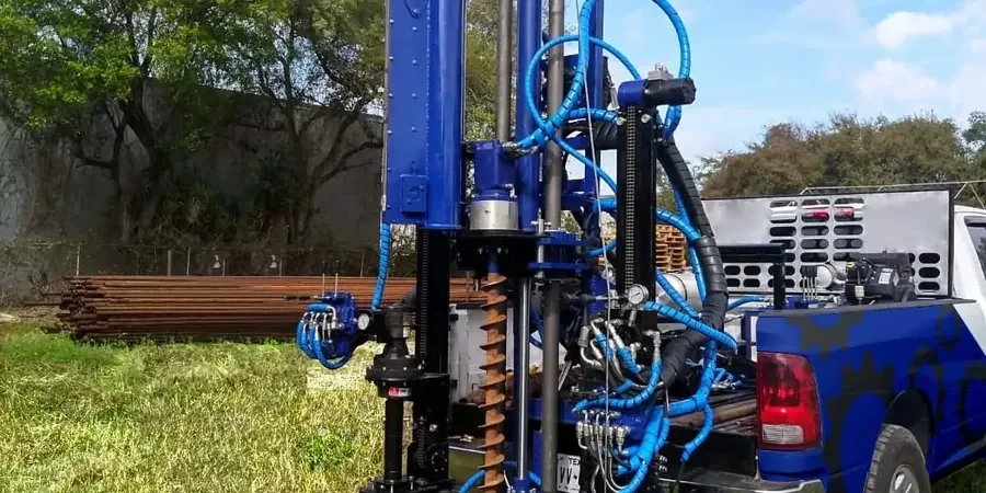
SPT Borehole Drilling and Sampling
Mobilizing track-mounted CME-75 or equivalent rigs to sites across Saanich, we advance boreholes through the Vashon Drift sequence with hollow-stem augers. Split-spoon samples are recovered every 1.5 meters, logged for moisture, color, consistency, and stratigraphic unit, with field vane tests on the Victoria Clay where undrained shear strength is critical for slope stability assessments.
Liquefaction Screening Package
Combining SPT N-values with fines content from wash-sieve analysis, we compute N1(60)cs and run cyclic stress ratio versus cyclic resistance ratio comparisons at each test depth. The report includes a layer-by-layer liquefaction potential index (LPI) map calibrated to the NBCC 2020 uniform hazard spectrum for the Saanich coordinates, ready for structural peer review.
Typical parameters
Quick answers
How deep do you typically drill SPT boreholes for a single-family home foundation in Saanich?
For a typical residential build on the Saanich Peninsula, boreholes generally reach 10 to 15 meters unless refusal on dense till or bedrock occurs shallower. The depth is guided by the footprint load and the need to check for the Victoria Clay-till interface, which often controls settlement behavior. If the hole encounters refusal above 3 meters on what appears to be till, we always core ahead to confirm it is not a glacial erratic boulder sitting on softer material.
What does SPT testing cost for a standard site investigation in Saanich?
An SPT investigation with two boreholes to 15 meters, including mobilization, drilling, sampling, logging, and a factual report with N60 and N1(60) profiles, typically ranges from CA$790 to CA$1,030 depending on access conditions and the presence of cobbly till that slows penetration. Sites on steep slopes in Gordon Head or requiring traffic control on arterial roads may fall at the higher end of that range.
How do you distinguish between dense till and bedrock during SPT refusal?
The Vashon till on southern Vancouver Island can produce blow counts exceeding 50 blows per 150 mm, mimicking bedrock refusal. Our protocol when SPT refusal is encountered is to immediately switch to a rock core barrel and advance at least 1.5 meters. If we recover a continuous core of grey, unweathered granodiorite or metasediment, we log it as bedrock. If we pull up fragments of till matrix with striated clasts, we continue drilling through the till until we reach competent rock.
Can you use SPT data to determine the NBCC seismic site class for my Saanich property?
Yes. By averaging N60 values over the upper 30 meters—or to the depth of bedrock refusal if shallower—we compute a representative shear wave velocity estimate and assign a Site Class from A (hard rock) to E (soft soil) per NBCC Table 4.1.8.4.A. Many sites in the Blenkinsop and Cordova Bay lowlands fall into Site Class D or E due to the presence of the Victoria Clay, which directly influences the design spectral acceleration values used by your structural engineer. More info.