On the Saanich Peninsula, the legacy of the Cordilleran ice sheet is everywhere you look—from the rolling drumlins to the deep marine clays that complicate even modest excavations. What surprises many developers is how a slope that has stood for decades can reach a critical state after just one wet winter. Our analysis work focuses on quantifying that threshold. We combine subsurface data from in-situ permeability testing with detailed stratigraphic profiles to understand how water moves through the Vashon till and the underlying glaciolacustrine silts. This groundwater regime, coupled with the seismicity expected for the Cascadia Subduction Zone, forms the backbone of every slope stability model we build for properties across Greater Victoria.
In Saanich's glacial stratigraphy, a one-meter rise in the transient water table can reduce the factor of safety by more than 15 percent—drainage is never secondary to the analysis.
Method and coverage
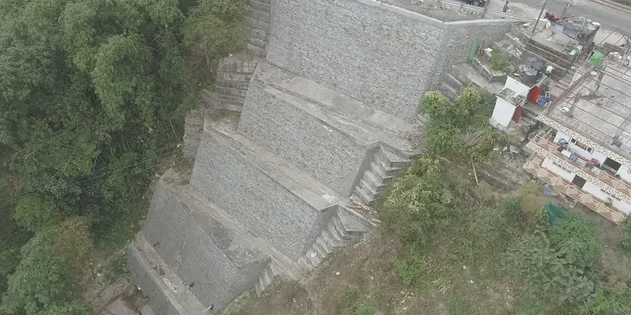
Regional considerations
The contrast between Saanich's dry summer Mediterranean-like climate and its intense November–February rainfall cycles creates a punishing test for natural and engineered slopes. The Cordova Bay escarpment and the bluffs along the Tod Inlet are classic examples where pore-water pressure buildup in fractured bedrock governs long-term stability. What surprises many property owners is that the geological hazard often lies in the subtle, low-gradient slopes underlain by the Victoria Clay member—a unit notorious for strain-softening behavior. Ignoring these site-specific conditions can lead to remediation costs that dwarf the original analysis budget. A thorough investigation is the only way to properly design mitigation measures, whether that involves regrading, subsurface drainage, or structural retention.
Standards that apply
NBCC 2015 (National Building Code of Canada, Seismic Provisions), EGBC Professional Practice Guidelines for Landslide Assessments in British Columbia, ASTM D4318-17 (Atterberg Limits for Victoria Clay characterization)
Complementary services
Limit Equilibrium Modeling
Deterministic Spencer and Morgenstern-Price analyses to compute factors of safety for rotational and translational failure surfaces, calibrated against local case histories on the peninsula.
Finite Element Stress Analysis
PLAXIS 2D models that capture the progressive failure of sensitive Victoria clays, incorporating coupled flow-deformation behavior for staged construction scenarios.
Seismic Slope Stability
Pseudo-static and Newmark displacement analyses using site-specific peak ground accelerations from the 2015 NBCC seismic hazard model for Victoria, assessing deformation rather than just a factor of safety.
Remedial Design Support
Geotechnical recommendations for slope flattening, shear key construction, or anchored retaining systems, developed in direct coordination with municipal drainage requirements under the District of Saanich Subdivision Bylaw.
Typical parameters
Quick answers
What triggers a requirement for a slope stability analysis in Saanich?
The District of Saanich typically requires a slope assessment for any development proposed on or adjacent to slopes steeper than 30 percent, or where a geotechnical hazard area is identified in the Official Community Plan mapping. The analysis must demonstrate a minimum static factor of safety of 1.5 for permanent conditions, as per standard geotechnical practice in BC.
How do the glacial clays in Saanich affect long-term slope performance?
The glaciolacustrine silts and clays deposited in the Saanich Inlet basin can exhibit pronounced strain-softening. This means their shear strength decreases with increasing deformation. Our analysis specifically tests for this sensitivity using lab programs that measure both peak and residual friction angles, which is critical for accurately modeling progressive failures in these soils.
What is the typical cost range for a slope stability analysis in Saanich?
Depending on the scope of the investigation, complexity of the stratigraphy, and the number of cross-sections requiring analysis, a slope stability assessment in Saanich generally ranges from CA$1.600 to CA$5.900. Projects requiring 3D limit equilibrium or finite element modeling fall toward the upper end of that range.
Can mature tree cover alone stabilize a slope in Saanich?
While the extensive root systems of native Douglas-fir and arbutus trees provide meaningful reinforcement to the near-surface soil mantle, they cannot be relied upon to prevent deep-seated failures. Our reports quantify root cohesion as a transient parameter and explicitly model the reduction in stability that would occur should trees be removed or lost to wildfire.
What is the typical timeline from field investigation to final report delivery?
A standard slope stability report for a residential lot, including a site visit, review of surficial geology, and limit equilibrium modeling, is usually completed within three to four weeks. More complex assignments involving deep borings, instrumentation, and three-dimensional modeling can extend the timeline to six or eight weeks.