A surprising number of foundation issues in the Greater Victoria area originate from a single oversight: relying solely on borehole data without verifying the near-surface stratigraphy through direct observation. In Saanich, where glacial till, marine clays, and fractured bedrock can alternate within a few meters, an exploratory test pit provides the visual confirmation that no drilling log can fully replicate. Our team has excavated pits across the peninsula—from the rocky outcrops near Mount Douglas to the silty lowlands of the Blenkinsop Valley—documenting soil structure, moisture conditions, and seepage zones that directly influence footing depth and retaining wall design. When combined with a grain-size analysis of the materials encountered, the pit log becomes a defensible record for confirming bearing stratum assumptions. For projects on slopes, we frequently integrate findings with a slope stability assessment to verify that the excavation itself does not compromise the long-term equilibrium of the site.
A properly logged test pit in Saanich glacial deposits reveals more about near-surface behavior than three boreholes without visual verification.
Method and coverage
Regional considerations
The contrast between two Saanich neighborhoods illustrates the risk of a one-size-fits-all investigation. In the Cordova Bay area, well-drained Vashon till often allows a straightforward 1.2-meter excavation with stable vertical walls; a few kilometers west, near the Swan Lake wetlands, the same depth can encounter soft, organic silts that collapse without warning. A test pit excavated without adequate shoring or benching in these compressible soils poses a real hazard to personnel and adjacent utilities. Beyond safety, the technical consequence is equally significant: mistaking a desiccated crust for a competent bearing layer leads to differential settlement that manifests within the first wet season. Our documentation captures the in-situ moisture profile and any slickensides or shear surfaces—indicators of past slope movement—so the structural engineer can adjust the foundation design or specify an anchored retaining wall where lateral support is needed near property lines.
Standards that apply
ASTM D2488 – Standard Practice for Description and Identification of Soils (Visual-Manual Procedure), CSA + ASTM D422 / D6913 – Particle-Size Analysis (supporting laboratory testing), CSA A23.3 – Design of Concrete Structures (foundation provisions referenced in BCBC), WorkSafeBC OHS Regulation Part 20 – Excavation and Trenching Safety
Complementary services
Standard Exploratory Test Pit Program
Machine-excavated pits to depths of 2.5–4.0 meters with benching as required by WorkSafeBC. Includes visual-manual logging per ASTM D2488, Munsell color designation, pocket penetrometer and torvane readings, photographic record of each wall, and bulk sampling of representative strata for laboratory classification. A factual report with pit logs, sample locations, and groundwater observations is delivered within five business days.
Test Pit with In-Situ Density and Permeability Testing
Extends the standard program by performing sand cone density tests (ASTM D1556) at the pit floor or specified horizons, plus in-situ permeability tests using a constant-head permeameter where seepage is encountered. This package supports compaction verification for engineered fill and provides the hydraulic conductivity values needed for dewatering system design, a frequent requirement in Saanich’s lower-elevation sites.
Typical parameters
Quick answers
What is the typical cost range for an exploratory test pit program in Saanich?
For a standard program involving two to three machine-excavated pits with full logging and sampling, the cost generally falls between CA$590 and CA$1,120 per pit, depending on access constraints, depth, and the number of laboratory tests specified. A firm quotation is provided after reviewing the site location and project requirements.
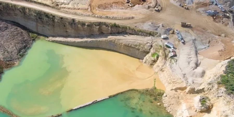
How do you manage groundwater inflow during test pit excavation?
Where groundwater is encountered, we measure the seepage rate and, if the inflow is manageable, continue to depth while documenting the stabilized water level. For higher inflows that could destabilize the walls, we either limit the excavation depth and recommend complementary CPT soundings to probe deeper strata, or employ a small sump pump to keep the pit floor workable while sampling is completed.
What backfill procedures do you follow after the test pit is logged?
Backfill is placed in compacted lifts not exceeding 200 mm, using the excavated material where it is suitable or imported granular fill where original soils are organic or excessively wet. Compaction to 95% of standard Proctor maximum dry density is achieved unless the client specifies a different standard. On public road allowances, we coordinate with the District of Saanich for any required pavement restoration.
Can test pits be used to verify bedrock depth instead of drilling?
In areas of Saanich where bedrock is shallow—such as the slopes of Mount Tolmie or the gneissic outcrops near Haro Strait—a test pit can expose the rockhead for direct measurement of depth, weathering grade, and joint orientation. Where bedrock is deeper than about four meters, machine excavation becomes impractical, and we recommend rotary drilling or seismic refraction to map the bedrock profile without exceeding safe excavation limits.